

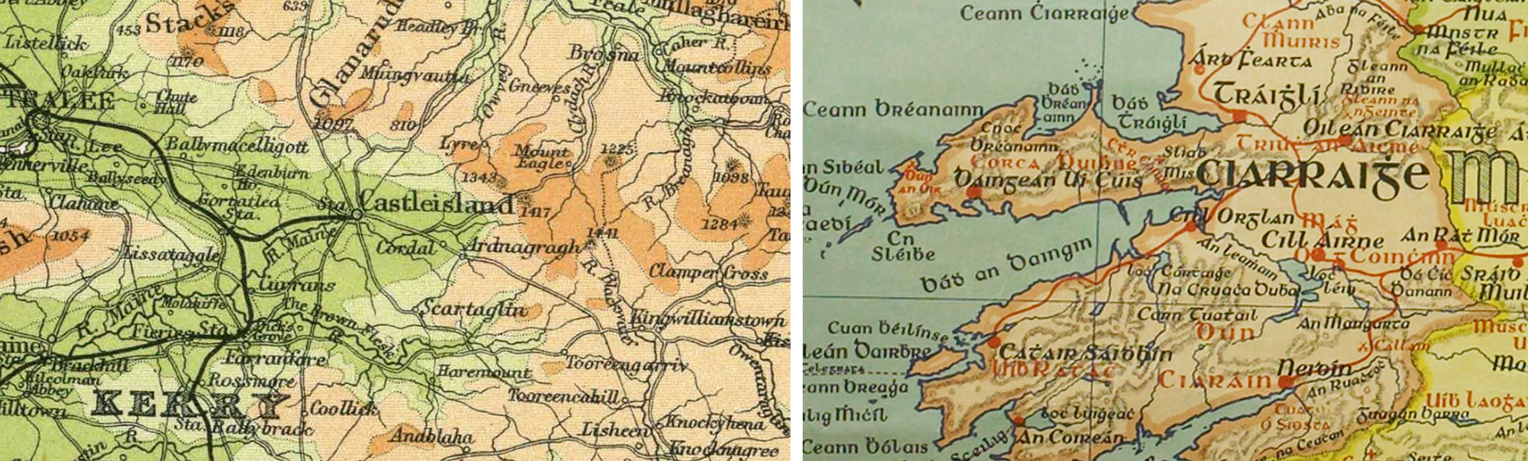
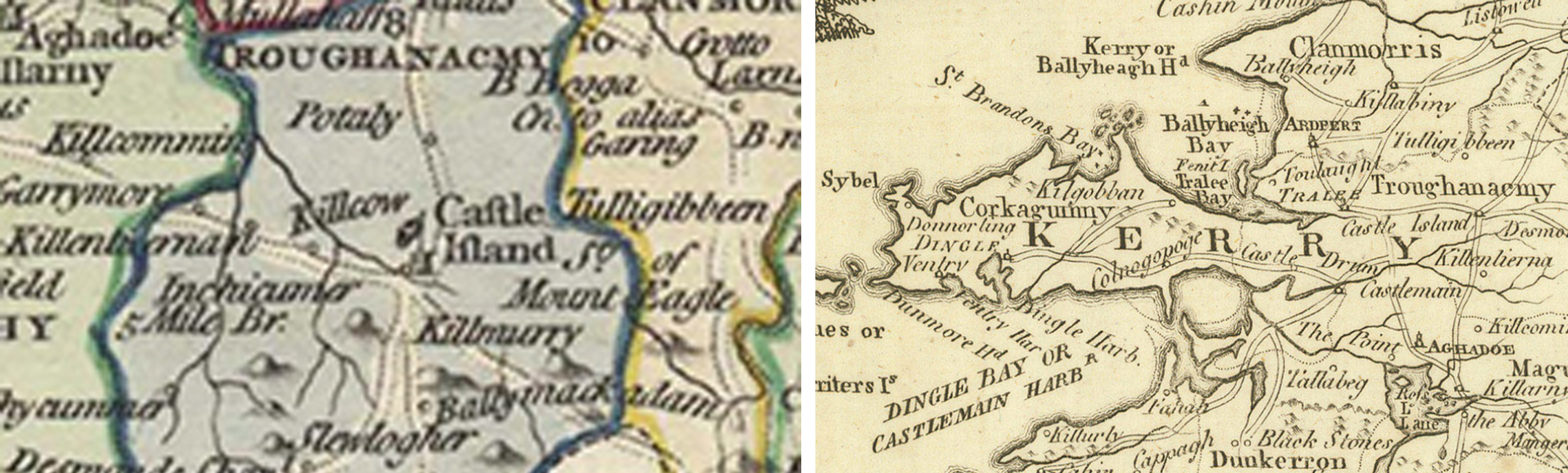
You do not have to be a cartographer to enjoy the fascinating compilation of maps of Kerry, dating from the 1500s to the present, held in the Castleisland Collection.1
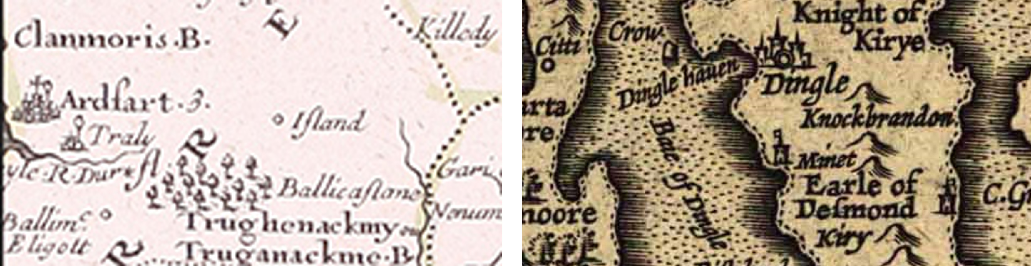
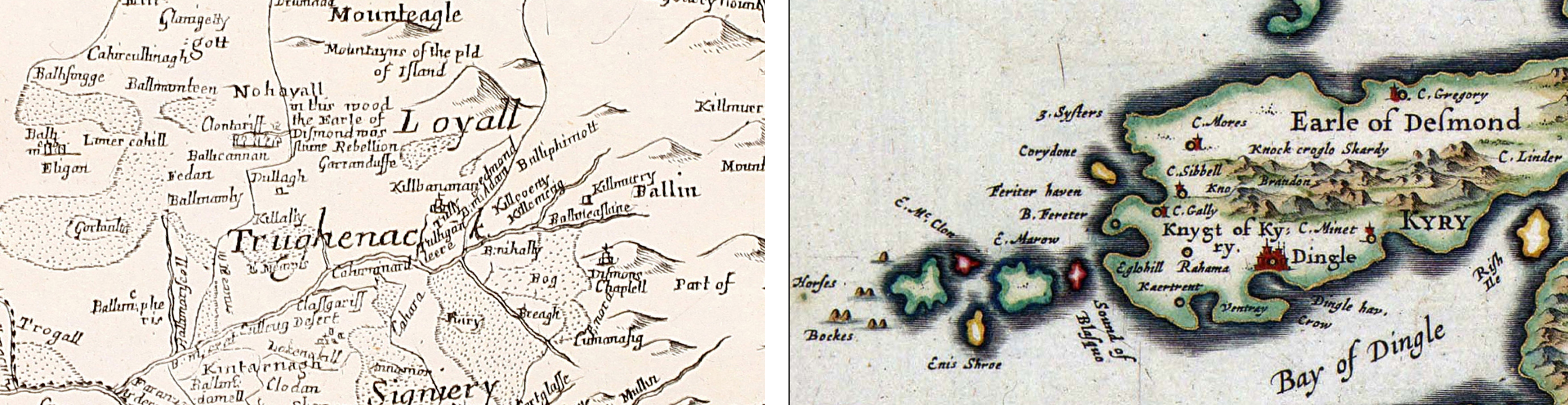
It contains almost one hundred maps which illustrate not alone the geography of Kerry but the peculiarities of spelling and the artistry of the mappers over the centuries.
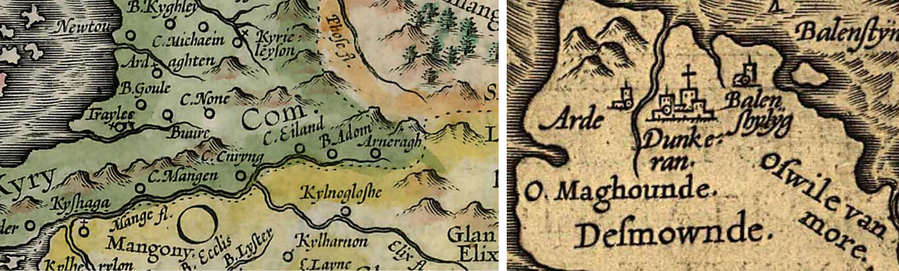
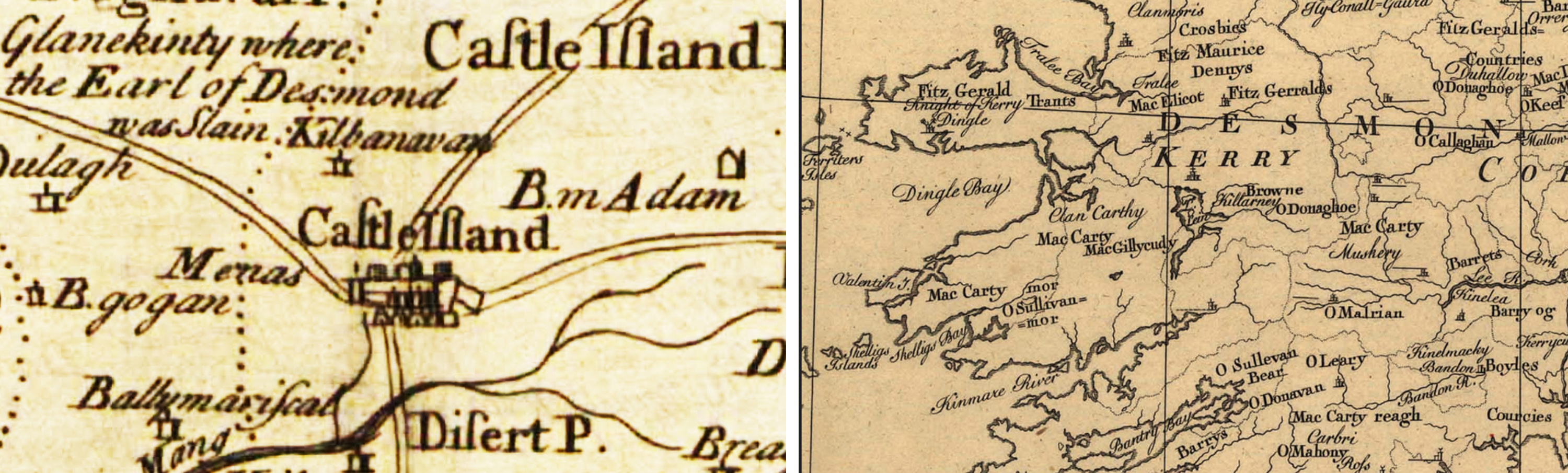
In Mercator’s sixteenth century map, we find Castleisland described as Castle Eiland though many of the seventeenth and early-to-mid eighteenth century maps depict it simply as ‘Island’.2
John Tallis’s mid nineteenth century map is decorated with scenes and historic buildings including Limerick Castle and the round tower of Wicklow. Later in the century, J Ballance’s Home Rule Map was engraved with images of Parnell, Gladstone, Justin McCarthy, John Dillon, W O’Brien, T Healy, M Davitt and T Sexton.
The changing social and political times are captured by maps drawn in Irish such as O hAodha’s hEireann and An Seabhac’s Léar Scáil na hÉireann.3
Elsewhere we find a 1756 map of Sir Thomas Denny’s Plan of Traly (Tralee) depicting the church, the castle, the square, the court house and market house, embossed with an engraving of the Denny arms.
Sean Moran, who produced the Kerry collection, has much of the country covered with his many compilations including Maps of Ireland through the Ages A Visual History (2010), Maps of Donegal through the Ages: A Visual History (2014) and a railway history map.
He remarks that Claudius Ptolemy is credited with producing the first shape of Ireland almost two thousand years ago. However, the five hundred years or so presented by Moran provide plenty to go on.
___________
1 Collection ref: IE MOD/C4.   Full title, Maps of Kerry through the Ages: A Visual History produced by Sean Moran who states, ‘An exciting journey through Kerry’s map history awaits’.  It appears to have been produced in 2015. ‘The compilation includes Old Kerry Place Names, Kerry Down Survey 1683, Kerry Sea Charts from 1569 to 1705, Kerry Family Names 1600-1841, Kerry Railway History from 1853, Irish maps from 1898, modern Kerry Irish Map, Mercator 1592, Orcelius 1598, Boazio 1606, Visscher 1689, Kerry Map History, Taylor & Skinner’s 1778, Kerry Road Atlas Maps, Kerry Townland Index 1846, Lartigue Narrow Guage Lines, L J Richards 1901 and Holy Wells.’


2 Mercator’s maps of 1592, 1594 and 1595;  Some of the other maps included are William Camden 1600; John Speed 1611; Van den Keere 1628; Johanne Bleau Munster 1646 and Johanne Bleau Hibernia 1654; Maps of the Cromwellian Settlement 1653; Nicolas Sanson’s map of 1665 marks Castleisland as C Iland; Francis Lamb 1689; Visscher 1689; Phillip Lea 1690; Moll 1695 and 1716; Homann 1720; Fredrick De Wit 1723; Petrus Schenk 1723; Vaugondy 1750; John Rocque 1765; ten images of Taylor and Skinner’s map of the Roads of Ireland 1778; 1800s clan map of south west Ireland and Phillip McDermott’s Irish Family Names Map of 1841; John Pinkerton 1813; Sidney Hall 1830; Tanner 1836; Lewis 1837; map issued under the superintendence of the Society for the Diffusion of Useful Knowledge 1838; Arrowsmith 1844;  Map of Her Majesty’s Government Index to the Townland Survey of the County of Kerry 1846; John Tallis 1851; C F Weiland 1853; Colton 1855; Johnston 1861 & 1905; Fullarton 1872; Bartholomew South 1890s; McNally 1892; J Ballance’s Home Rule Map 1893; L J Richards 1901; Railways of Ireland 1903; Phillips 1910.


3 hEireann by Tomas O hAodha 1898-1908 and Léar Scáil na hÉireann An Seabhac 1948.  Also in the compilation are Breathnach’s map of Ireland 1938 and O Morain’s map of 2008.